
Mia Spencer
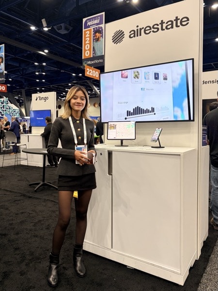 Airestate booth, NAR NXT
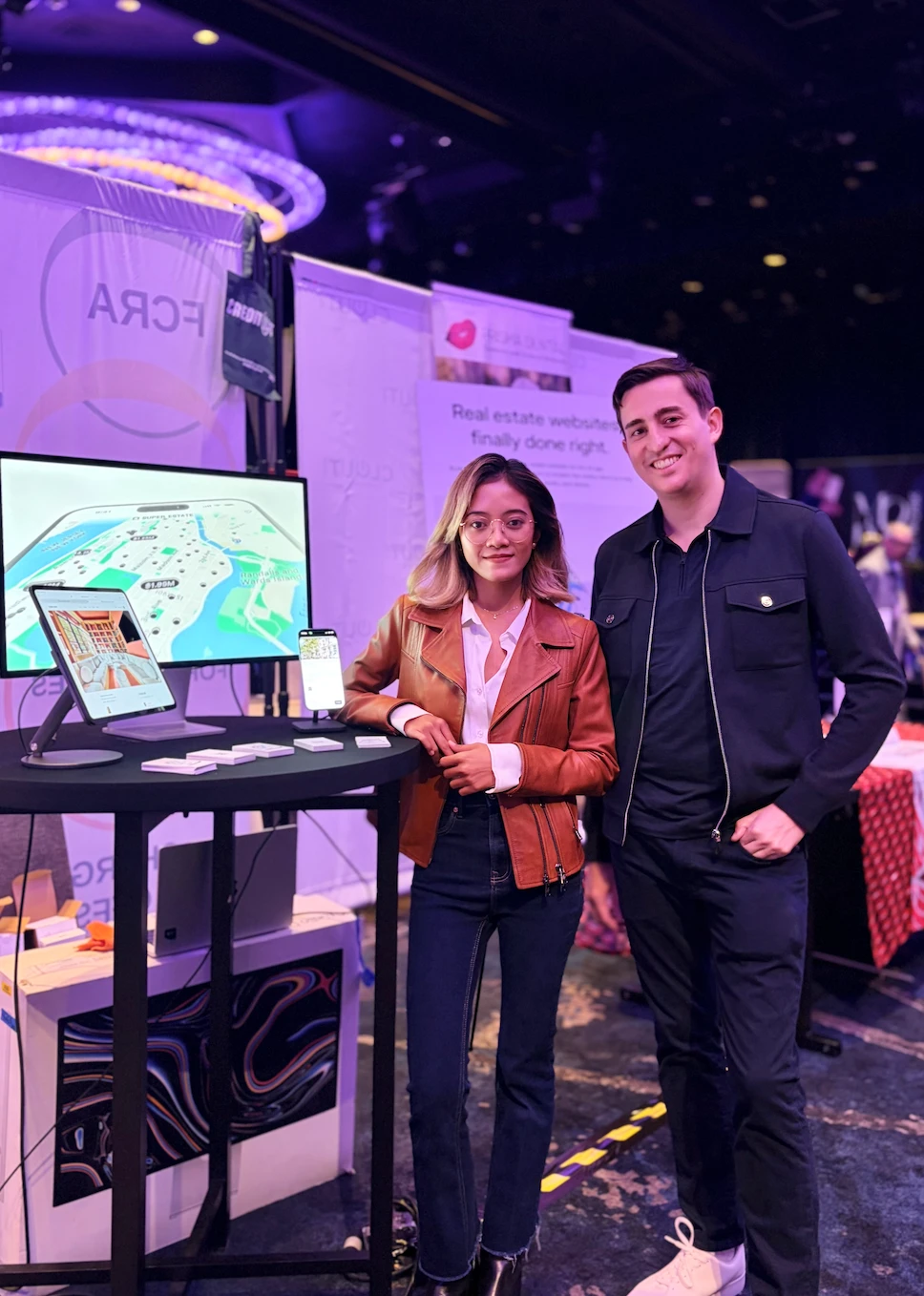 Airestate booth, NYC Expo
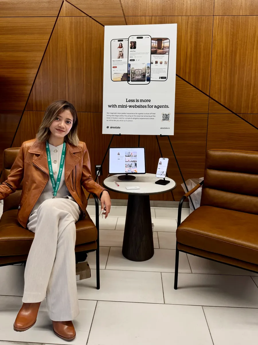 Southeast Real Estate Expo, Greenville
 With Ryan Serhant
 CRE Miami
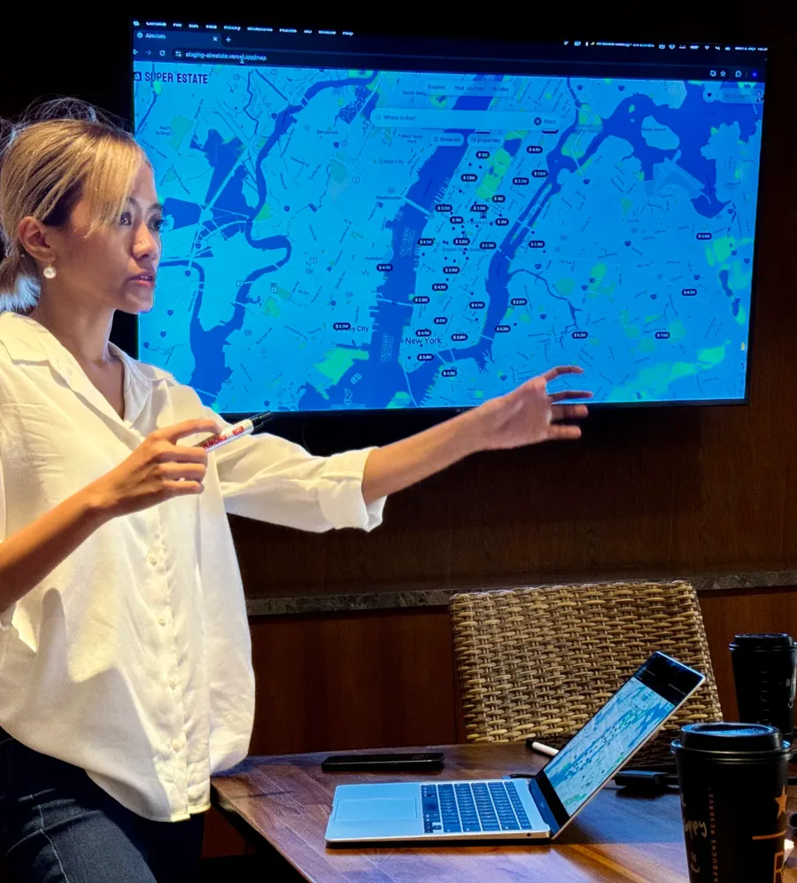 Tech Strategy, Bali
Airestate
During travel, my friend and I kept running into the same problem: every time we moved to a new country, finding a new place was frustrating. The user experience was broken, and real estate systems were a mess.
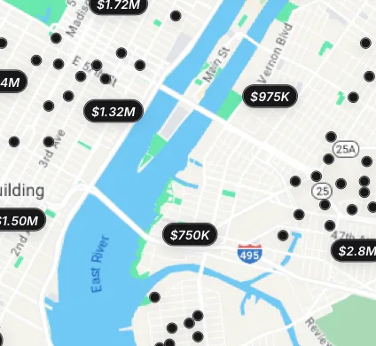
So together with Martin, a UI/UX designer , we started Airestate  . We fixed messy listing data and developed advanced clustering and a native-app experience on the web.



Cloud-Native GIS
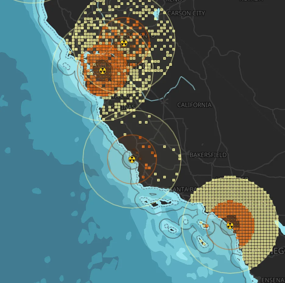
I fell in love with maps from the beginning, so I always got excited and gave my best hours to create each map.
Early on, I made tutorials to help my friends in mapping class. Then some researchers came across my channel and requested maps for their projects.
And the next thing I knew, more people kept coming. That's how Im.Carto began.
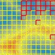
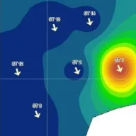
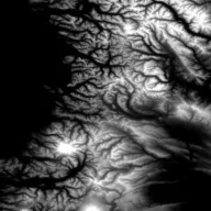
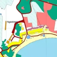
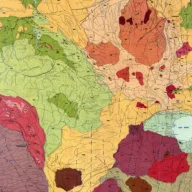
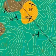
We've now created more than 1,000 maps, working with researchers, mapping consultants and governments.
Somewhere along the way, I kept thinking about my mission in cartography.
Even early on, I felt something was missing when mapping in GIS apps. They're heavy, and I couldn't work from anywhere.
Besides that, most of my time went into preparing the data: cleaning it and converting rasters to vectors. Some parts of mapping are also quite repetitive, like weighting, overlays and scoring. Yes, ModelBuilder helps with the repetitive steps.
But wait, there's more: what about finding the data? Or picking the right method from a number of studies? That takes time too.
Each of these parts can be optimized, and people have already started building pieces of this future: cloud-based solutions, autonomous workflows, MCP and more.



Imagine all of it coming together. Think of how many hours we'd save with faster decision-making and autonomous geoprocessing workflows.
That's where I'm going.
I hope to meet cartographers with the same mission along the way!