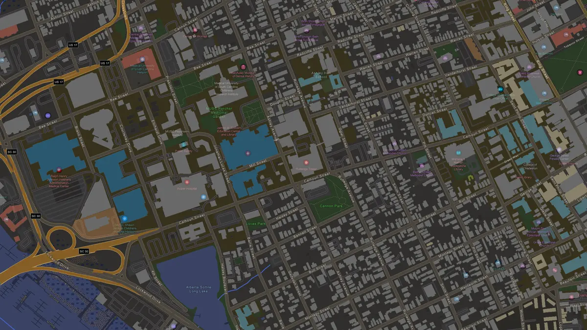
The Overture Maps Foundation releases its first open map
“Amazon, Meta, Microsoft and TomTom began pooling open map data in December 2022; released from July 2023 with stable IDs (GERS), it is a shared base layer under many maps.”
In December 2022 Amazon Web Services, Meta, Microsoft and TomTom announced a new group, the Overture Maps Foundation, hosted by a Linux Foundation affiliate, to build open map data that anyone could use. Every company that makes a map app needs the same basics: the roads, the buildings, the borders and the shops. Each had been collecting and fixing them alone, at great cost, and the open data that existed came in different formats and with different licences. Overture's idea was to do that work once, together, and give the result away. Google, whose maps dominate, was not a member.
Overture does not send out surveyors or ask volunteers to edit. It gathers data that is already open, among it OpenStreetMap, building footprints that Microsoft and Google drew from satellite images, Esri's community maps and places lists from Meta and Microsoft. It checks them, matches duplicates, puts everything into one documented schema and publishes files. The first dataset came out on 26 July 2023 with four layers: some 59 million places, 780 million buildings, a road network and administrative boundaries. A release has come every month since October 2023.
The cleverest part is GERS, the Global Entity Reference System. It gives each building, road and place one stable identifier, so that another company's data, a flood-risk score, a hotel rating or a road closure, can be attached to the right thing without guessing which row matches which. GERS was previewed in June 2023 and reached general availability on 25 June 2025.
The project grew steadily. The first beta came in April 2024, and in July 2024 buildings, places, boundaries and the base layer went to general availability, with an alpha Addresses theme added. Roads followed in December 2024. Membership rose from four founders to 50 by July 2026, and Meta, Microsoft's Bing Maps, Esri's ArcGIS and TomTom use the data. By the October 2026 release it held about 88 million places, 2.5 billion buildings and 475 million addresses, and addresses were still labelled alpha.
It matters because maps have become a kind of public utility that only a few firms could afford to keep up to date. Overture does not replace OpenStreetMap, which it uses; it works downstream of it and others, making their different data fit together. Its limits are real: places change fast, so the data goes stale unless it is refreshed, address coverage is patchy, and the project still depends on a few large companies and on volunteers' maps.
What happened
- 2022
The Joint Development Foundation, an affiliate of the Linux Foundation, announces the Overture Maps Foundation. Amazon Web Services, Meta, Microsoft and TomTom found it to build open map data as a shared asset, open to anyone who wants to join. They promise a shared schema, checks against errors and vandalism, and a system that gives the same real-world thing the same identifier in every dataset. The first data is promised for the first half of 2023. Jim Zemlin of the Linux Foundation says no single organisation can map every community as it changes.
Menlo Park, California: Meta's headquarters; Meta is one of the four founders- 2023
Overture shows a pre-release dataset (2023-04-02-alpha): a showcase of what it plans to build, not meant for production, and a first call for feedback.
Overture publishes its data schema and the first draft of GERS, the Global Entity Reference System, for comment. The schema covers buildings, places, transportation and administrative boundaries; roads use a linear referencing model, so that a speed limit can be attached to part of a road without changing the road itself.
The first worldwide open dataset, Overture 2023-07-26-alpha.0, comes out with four layers: more than 59 million places (data from Meta and Microsoft that had never been open), over 780 million building footprints, a road network from OpenStreetMap, and boundaries with names in over 40 languages. More than a dozen companies are now members, among them Esri, Precisely, PTV Group and SafeGraph.
The second release gives stable GERS identifiers to 1.6 million buildings in cities across North America, South America and Europe, as a first test of the idea. Esri's blog shows how outside data, such as US federal (FEMA) building data, can be attached to a building by its identifier. Monthly releases begin from this autumn.
TomTom explains how it turns OpenStreetMap roads into Overture's Transportation layer: instead of cutting a road into a new piece every time its surface, speed limit or lane count changes, the road stays whole and the changes are marked along it.
Amsterdam: TomTom's headquarters on the De Ruijterkade; TomTom is a founder and wrote the road methodThe buildings layer grows from 1.4 billion to more than 2.3 billion footprints when Google's Open Buildings, cut from satellite images and strong in Africa, South Asia, South-East Asia and Latin America, is matched against OpenStreetMap, Esri Community Maps and Microsoft's footprints. Every building now has a GERS identifier.
Redmond, Washington: Microsoft's headquarters campus; Microsoft is one of the four founders- 2024
After one year the executive director, Marc Prioleau, counts five data themes released, a monthly release routine, an open entity-reference system, and more than twenty member organisations.
The first beta of the dataset, with five layers: 54 million places, 2.3 billion buildings, roads, boundaries and a base layer of land and water. Meta is already using it for its maps, and Microsoft for Bing Maps.
Overture sponsors the Geospatial World Forum in Rotterdam (13-16 May), where almost a thousand people from over 85 countries talk about shared spatial data infrastructure; its executive director argues that open base layers can be the backbone of it.
Rotterdam: the Geospatial World Forum of 13-16 May 2024, which Overture sponsoredGeneral availability for four themes (Buildings, Places, Divisions and Base), under schema version 1.0.0: 2.3 billion building footprints and 54 million places, already used by Meta, Microsoft's Bing Maps, Esri and TomTom. The same day an alpha Addresses theme appears, with over 200 million addresses from 14 countries, and a beta Explorer site for looking at the data in a browser.
The team answers questions on the release in an 'Ask Us Anything' session: Amy Rose, the technical director, on what GA means, Pascal Clarysse of TomTom on why Transportation is still in beta, and Jennings Anderson of Meta on how the data is used.
The Transportation theme reaches general availability: 86 million kilometres of roads, with rail and ferry routes, traffic rules and a linear referencing system for attaching data such as a pothole or a closure to one stretch of road. Microsoft, Meta and TomTom already use it.
- 2025
The second Member Summit gathers more than a hundred people from about thirty member organisations in Charleston for three days. The project's own summary of it is a change of aim, from building the best open map to enabling the best map.
Charleston, South Carolina: the second Member Summit, 2025The addresses task force reports its progress: the schema was settled by March 2024, and by December 2024 the database had more than 400 million addresses from 34 countries, still alpha. The coverage map shows the gaps that remain.
The Global Entity Reference System reaches general availability. Overture says organisations spend up to 90 per cent of their time on getting data to fit together, and GERS is meant to end that: one stable, open identifier for each building, place and road, backed by nearly forty members.
Fast Company names Overture a winner in its 2025 Next Big Things in Tech list, in the 'Small and Mighty' category, for GERS.
Overture explains how it brought every address in Mississippi together: from the 82 counties' own records into one dataset, one format and one release. The addresses theme now has nearly 200 sources and over 450 million addresses.
- 2026
More than thirty member organisations meet in Florence for the third Member Summit: three days and 28 sessions, with Esri showing Overture at scale in ArcGIS and the Global Earthquake Model using its building footprints.
Florence: the third Member Summit, April 2026Membership reaches 50 organisations, from the four founders of 2022, among them government bodies such as Fresno County and research groups such as the Global Earthquake Model Foundation.
A major schema release, v2.0.0, rewrites the Overture schema as a Python library from which the documentation and checks are generated, and removes the old categories property of Places in favour of a taxonomy.
The latest monthly release, 2026-10-21.0: 88.4 million places (up 8.5 per cent in a month), 2.53 billion buildings, 475 million addresses (still alpha) and 766 million OpenStreetMap road features alongside TomTom's own, published on Amazon S3 and on Microsoft Azure.
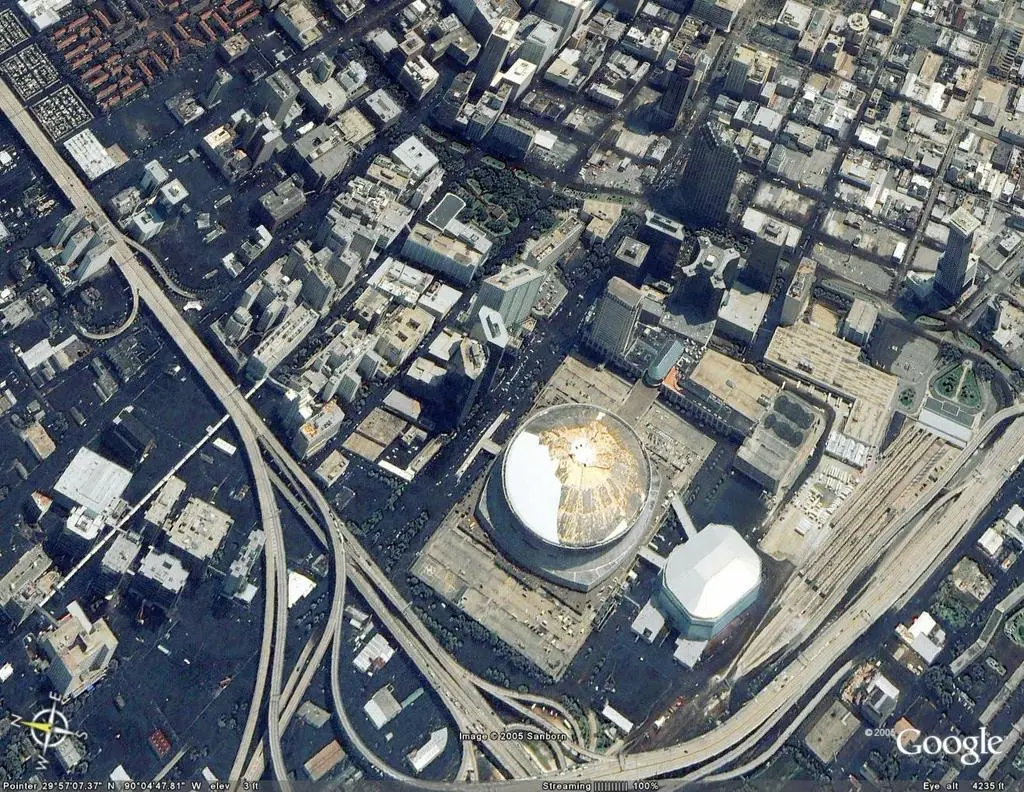
Seattle: Amazon's headquarters; Amazon Web Services is a founder and hosts every release