NISAR, the NASA–ISRO radar satellite, launches
“A U.S.–Indian radar satellite, launched from India in July 2025, that maps nearly all the Earth's land and ice every 12 days and measures the ground moving by fractions of an inch.”
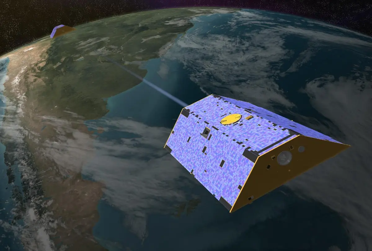
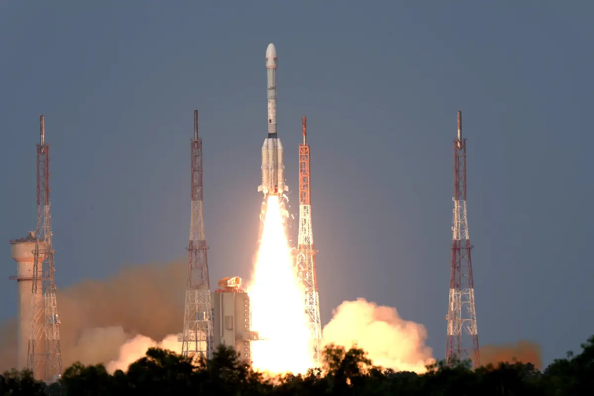
NISAR is a radar satellite built by the United States and India together to watch the surface of the Earth move. Its name is short for NASA-ISRO Synthetic Aperture Radar. It launched on July 30, 2025, on an Indian GSLV rocket from the Satish Dhawan Space Centre at Sriharikota, on India's southeastern coast. From about 747 km up it scans nearly all of the planet's land and ice twice every 12 days, by day and by night, through cloud and rain.
It was the first time NASA and ISRO, India's space agency, had built the hardware of an Earth-observing satellite together, and the work was split down the middle. NASA's Jet Propulsion Laboratory in California built the L-band radar, which uses 24 cm waves that pass through forest canopy, plus the boom, the reflector and the data systems. ISRO built the spacecraft, the S-band radar, with 10 cm waves that are more sensitive to crops, light vegetation and wet snow, and the rocket. The agencies signed up in 2014; the American radar was flown to Bengaluru in 2023 and joined to the Indian spacecraft there.
The satellite's most striking part is a drum-shaped antenna reflector of gold-plated wire mesh, 12 metres across, the largest NASA has ever deployed. It went up folded like an umbrella on the end of a 9-metre boom. The boom unfolded from August 9, 2025, and on August 15 the reflector 'bloomed' open in 37 minutes. A radar alone would give blurry pictures from that height; 'synthetic aperture' processing combines many echoes as the satellite moves, so the 12-metre dish works like an antenna kilometres long and sees details a few metres wide.
The first images, of Maine's Mount Desert Island and of North Dakota farmland, were taken in late August and released on September 25, 2025. Routine science began around the turn of the year, and from July 20, 2026 the data from both radars has been open to everyone. Because the satellite passes over the same spot every 12 days, scientists can compare images taken on different passes and measure how much the ground has moved, down to fractions of an inch: Mexico City sinking more than 2 cm a month, lava spreading from a volcano in Kamchatka, slopes torn loose by an earthquake in the Yukon.
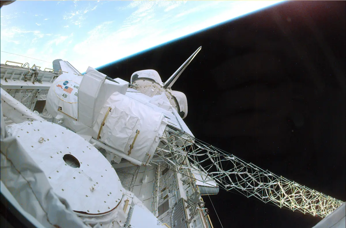
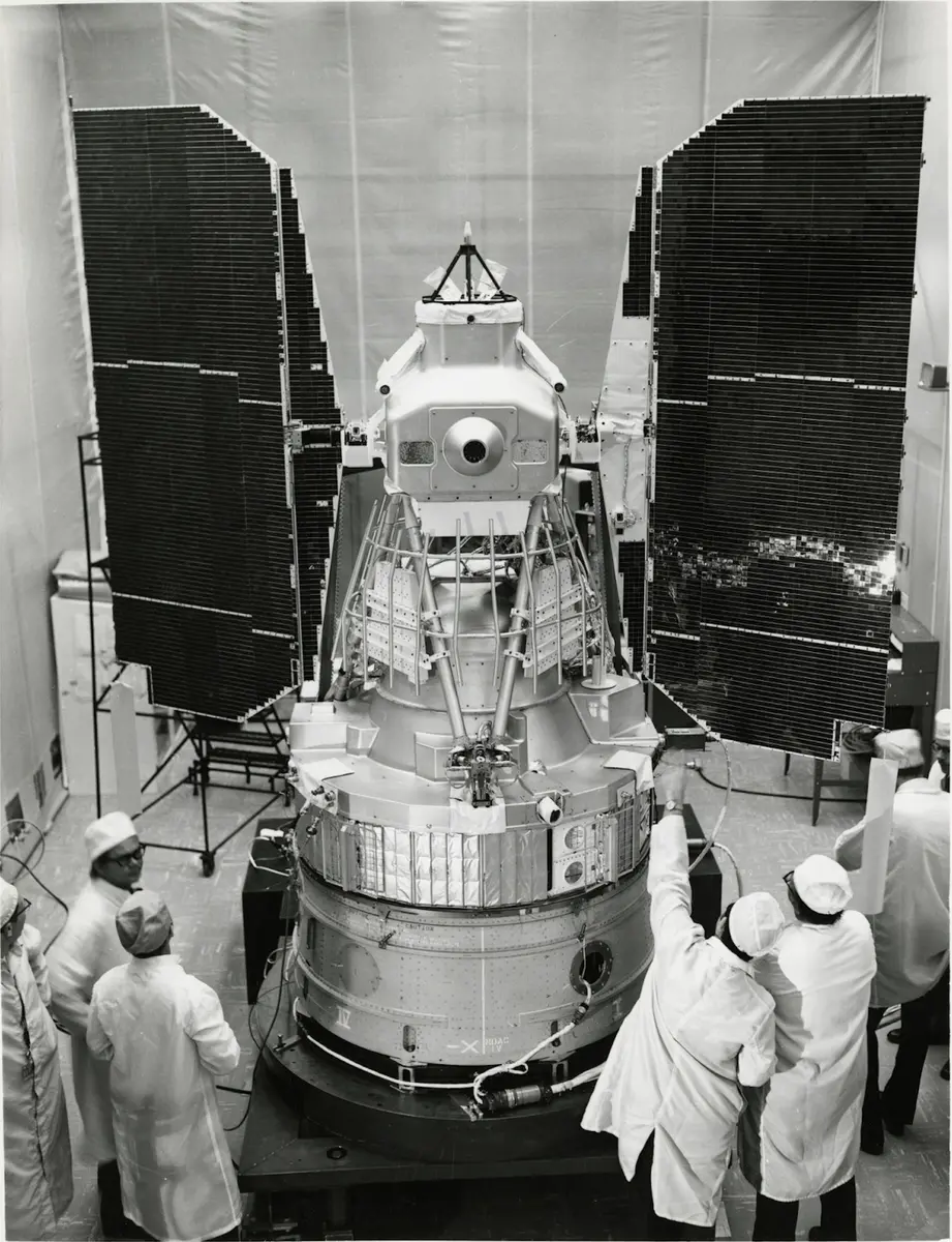
NISAR comes from a long line of JPL radars, from Seasat in 1978 to the Space Shuttle's radar map of the world's terrain in 2000. What is new is the scale: two radars, near-global coverage and an enormous stream of data, on the order of dozens of terabytes a day. It is meant to warn of volcanoes and landslides, track melting ice sheets, glaciers and groundwater, help farmers and disaster crews, and leave a record of how the Earth's surface changes over its planned three years and beyond.
What happened
- 2014
NASA Administrator Charles Bolden and ISRO Chairman K. Radhakrishnan sign the agreement in Toronto to build and launch NISAR together: NASA will supply the L-band radar, ISRO the spacecraft, the S-band radar and the rocket.
- 2020
NISAR's radar hardware goes through thermal vacuum testing at JPL, in a chamber that mimics the cold vacuum of space.
Jet Propulsion Laboratory, Pasadena: the L-band radar, reflector and boom- 2023
ISRO's chairman S. Somanath visits JPL and sees the finished science payload in the clean room with project manager Phil Barela.
Jet Propulsion Laboratory, Pasadena: the L-band radar, reflector and boomAfter leaving the United States on a U.S. Air Force cargo plane on March 3, NASA's radar payload lands in Bengaluru.
At ISRO's U R Rao Satellite Centre in Bengaluru, JPL and ISRO engineers lower the radar payload onto the spacecraft bus and join the two halves of the satellite.
U R Rao Satellite Centre, Bengaluru: the spacecraft bus, and where the two halves were joined- 2025
After two days on the road from Bengaluru, NISAR arrives at the Satish Dhawan Space Centre in Sriharikota.
Satish Dhawan Space Centre, Sriharikota: the launch siteThe satellite is enclosed in the nose fairing of its GSLV rocket.
Satish Dhawan Space Centre, Sriharikota: the launch siteAbout 20 minutes after launch the satellite separates from the rocket's third stage, and mission controllers then receive its first signal.
- 12:10 p.m.
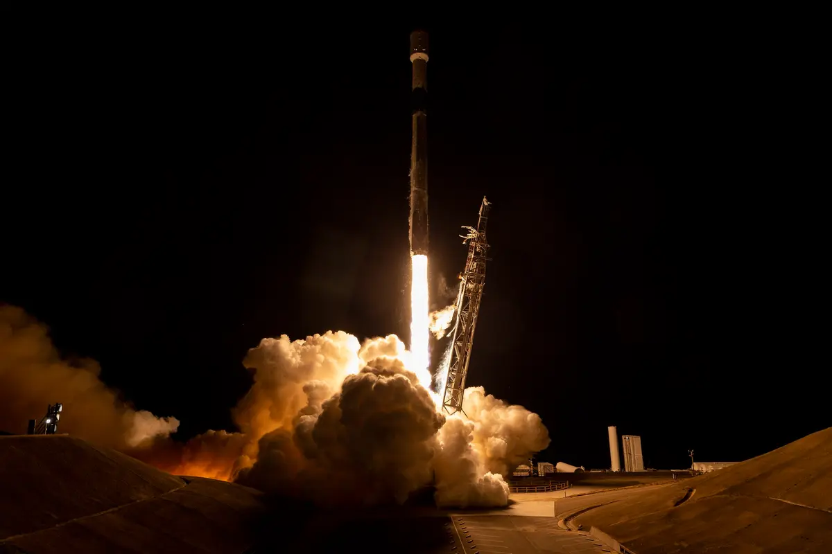
At 12:10 UTC (17:40 in India, 8:10 a.m. in California) ISRO's GSLV-F16 lifts off from Sriharikota with the 2,392 kg NISAR aboard, bound for a sun-synchronous orbit.
Satish Dhawan Space Centre, Sriharikota: the launch site The 9-metre boom that will hold the reflector starts to unfold, one joint at a time; it is fully out about four days later. ISRO's tracking network in Bengaluru runs the operation with JPL.
ISRO Telemetry, Tracking and Command Network, Bengaluru: control of the boom and reflector deploymentExplosive bolts fire and the reflector 'blooms' open like an umbrella, from 0.6 m across to 12 m in 37 minutes: the largest antenna reflector NASA has ever deployed.
ISRO Telemetry, Tracking and Command Network, Bengaluru: control of the boom and reflector deploymentISRO's S-band radar makes its first acquisition and starts imaging India and calibration sites.
The L-band radar images Mount Desert Island in Maine, the scene NASA later releases as NISAR's first image.
Mount Desert Island, Maine: the first released imageThe L-band radar images farms and wetlands along the Forest River in North Dakota.
Having passed its checks, the satellite starts raising itself into its working orbit about 747 km up.
NASA publishes NISAR's first radar images of Earth.
On NISAR's 100th day in orbit ISRO releases its first S-band images to the public and announces the start of the science phase.
Through cloud, the L-band radar images Mount St. Helens, Mount Rainier and the Pacific Northwest.
Mount St. Helens, WashingtonNISAR images the Mississippi River Delta, New Orleans and the 39 km Lake Pontchartrain Causeway.
New Orleans and the Mississippi River DeltaTwo days after a magnitude 7.0 earthquake in the St. Elias Mountains on December 6, NISAR's radar shows the slopes around Hubbard Glacier strewn with landslide and avalanche debris.
Hubbard Glacier, St. Elias Mountains: the December 2025 earthquakeNISAR takes its first image of Krasheninnikov, a Kamchatka volcano erupting for the first time in about five centuries; it will image it twice every 12 days and NASA later turns 17 frames into a time-lapse of the lava.
Krasheninnikov volcano, Kamchatka: the eruption NISAR filmed- 2026
NASA's side of the mission enters science operations: routine radar mapping of nearly all the Earth's land and ice twice every 12 days. A first sample of about 25 L-band data products is released.
NASA publishes a NISAR map of Mexico City sinking by more than 2 cm a month in places, measured between October 2025 and January 2026.
Mexico City: the sinking ground mappedCalibrated data from both radars become open to the public, released continuously from then on; NASA marks it with the 'hummingbird', an Antarctic ice image from August 2025.