The Space Shuttle maps the world's terrain by radar in 11 days
“In February 2000 Endeavour's radar, with one antenna on a 60-metre mast, measured the height of 80% of the Earth's land in eleven days: the first near-global elevation map.”
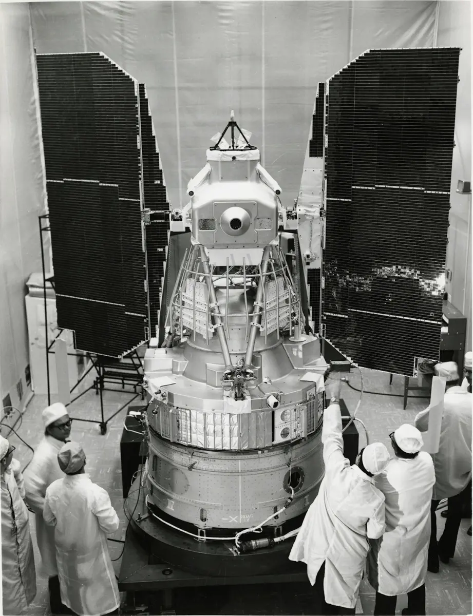
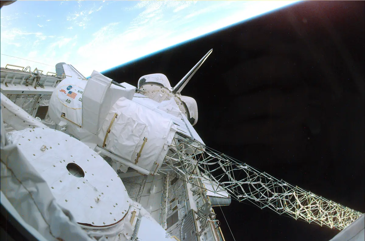
In February 2000 the Space Shuttle Endeavour spent eleven days measuring the height of the Earth's land. The flight, STS-99, carried the Shuttle Radar Topography Mission (SRTM): a radar built for two earlier shuttle flights in 1994 and rebuilt to see in three dimensions. One antenna sat in the payload bay; a second hung at the end of a 60-metre (200-foot) folding mast, the largest rigid structure flown in space up to then. Both received the same radar echoes at the same moment from two slightly different places, and the tiny difference between them gave the height of the ground below. Radar makes its own light, so it worked at night and through cloud.
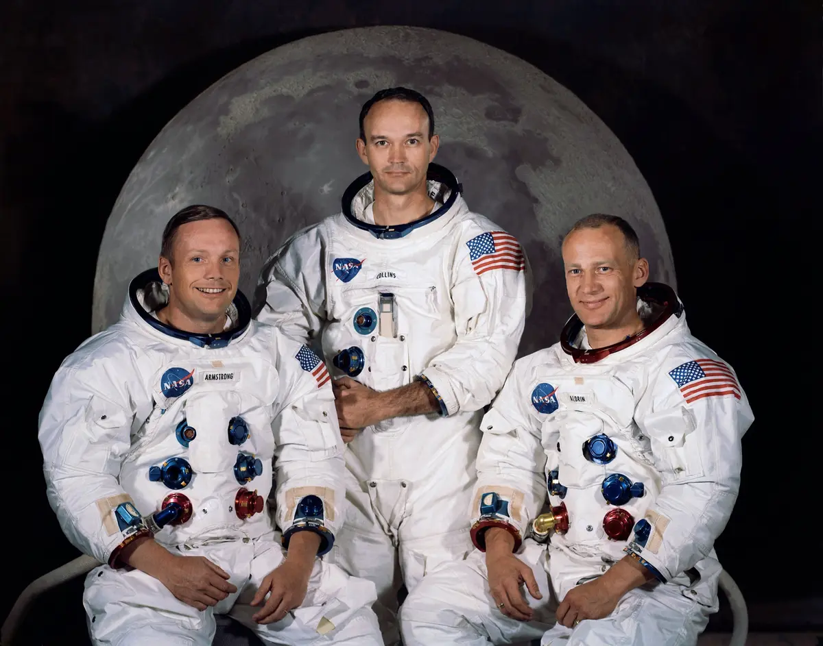
Endeavour lifted off from Florida on 11 February with six astronauts: Kevin Kregel, Dominic Gorie, Janet Kavandi and Janice Voss of NASA, Gerhard Thiele of Germany for the European Space Agency, and Mamoru Mohri of Japan. Hours later the mast unfolded, and after midnight the mapping began. The crew worked in two shifts so the radar never stopped, while the shuttle flew tail first. A small thruster at the tip of the mast failed and Endeavour had to burn its own fuel to hold steady, but careful savings still bought extra hours. When the radar was switched off on 21 February it had swept 99.98% of the land between 60° north and 56° south, about 80% of all the land on Earth, most of it twice. Endeavour landed in Florida the next evening.
The mission was a joint project of NASA's Jet Propulsion Laboratory and the US Defense Department's mapping agency, then called NIMA and now the National Geospatial-Intelligence Agency, with the German and Italian space agencies, who ran a second, X-band radar. The military wanted precise terrain for navigation; scientists wanted the shape of the land. Before SRTM, cloudy tropics and remote mountains were poorly mapped or not at all. JPL turned the 332 tapes into tiles of one degree by one degree and released them continent by continent in 2003 and 2004 at a grid of 90 metres. In 2014 most of the world's data were opened at their full 30 metres, and the rest followed in 2015.
SRTM gave the world its first high-resolution, near-global elevation map, free for anyone to use. It still sits under countless maps, flood and hazard models, and studies of earthquakes, volcanoes and erosion; in Mexico it even showed the faint rim of the buried Chicxulub crater, the impact blamed for the end of the dinosaurs. The mast canister and the antenna from its tip went to the Smithsonian in 2003 and hang today at the Udvar-Hazy Center near Washington.
What happened
- 2000
About five and a half hours after launch the crew unfold the 60-metre mast from its canister in the payload bay; it is fully out within about 17 minutes, the largest rigid structure flown in space up to then.
- 5:43 p.m.
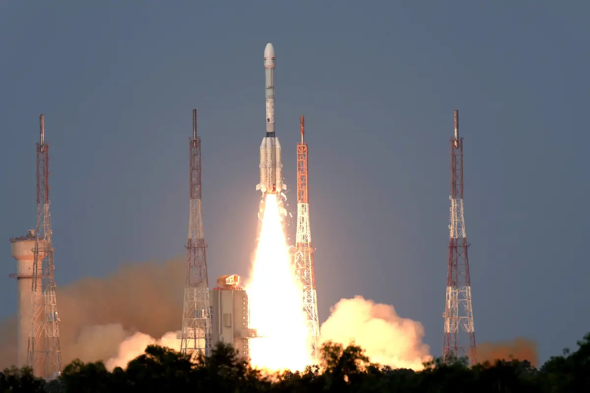
After five months of delays and a scrubbed attempt on 31 January, Endeavour lifts off from Launch Pad 39A at 17:43 UTC (12:43 p.m. in Florida) with six astronauts, including Gerhard Thiele of Germany for ESA and Mamoru Mohri of Japan.
Launch Complex 39A, Kennedy Space Center: Endeavour's launch, 11 February 2000 On the second day of flight a small cold-gas thruster at the mast's tip, meant to steady it, fails; Endeavour burns its own fuel twice as fast to hold its attitude. The crew also fly the first 'flycast', a careful thruster pulse that raises the orbit without bending the mast.
- 5:31 a.m.
After the radars pass their checks, mapping begins at 05:31 UTC (12:31 a.m. in Florida), less than 12 hours after launch. The crew split into a Red and a Blue team to keep the radar running day and night, and the orbiter flies tail first.
JPL in Pasadena releases the first SRTM images while the mapping goes on, among them shaded relief of the cloudy scrub forest along Brazil's São Francisco River.
Jet Propulsion Laboratory, Pasadena: managed the mission and processed the radar dataJPL shows the San Andreas Fault north of Los Angeles in 'wrapped' colour, each band of colour 400 metres of height: the fault's 1857 rupture traced in the radar's numbers.
Jet Propulsion Laboratory, Pasadena: managed the mission and processed the radar dataThe two shifts meet on the middeck for the traditional in-flight crew portrait, a rare moment on a flight run around the clock.
Thanks to fuel saved in orbit NASA adds about nine hours of mapping and leaves the mast out until Monday morning instead of retracting it on Sunday night.
Among the last strips of land the radar records are Mount Fuji and Tokyo.
Mount Fuji: mapped on 21 February 2000, one of the last days- 11:54 a.m.
Mapping ends at 11:54 UTC (6:54 a.m. in Florida) after a final sweep across Australia: 222 hours 23 minutes of radar on 332 tapes, covering 99.98% of the land between 60° north and 56° south at least once and 94.6% twice. The mast is then folded back into its canister.
- 11:22 p.m.
Gusty winds cost one extra orbit; just after sundown Endeavour touches down on Runway 33 at Kennedy Space Center at 23:22 UTC (6:22 p.m. in Florida), on orbit 181, after 11 days, 5 hours and 38 minutes.
Shuttle Landing Facility, Kennedy Space Center: the landing on Runway 33, 22 February 2000