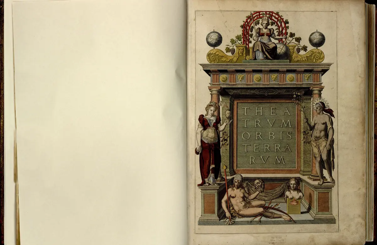
Ortelius publishes the first modern atlas
“On 20 May 1570 Ortelius's Theatrum Orbis Terrarum put maps of one size, with text and named sources, into one bound book: the pattern of every atlas since.”
On 20 May 1570, in Antwerp, a book came out called the Theatrum Orbis Terrarum, the Theatre of the World. It was a bound volume of 53 sheets of maps, all one size, each with a page of text on its back, laid out by continent and country. The man who put it together, Abraham Ortelius, was a dealer in maps. He drew very few of them himself. He bought the right to use maps by others, redrew them smaller and engraved them on copper, and listed the 87 map-makers he had borrowed from, which was unusual for his time.
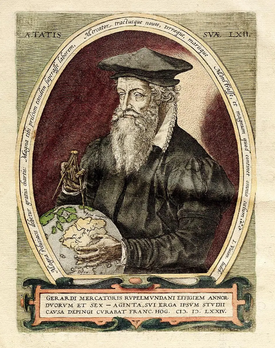
Before this, a rich buyer who wanted many maps ordered a collection from a Venetian or Roman dealer, and got sheets of different sizes and styles with no text. Ortelius's idea was to make the collection once, uniform and indexed, and sell many copies. Merchants in Antwerp, then the centre of European trade, wanted exactly that, and his friend Gerard Mercator, who was planning an atlas himself, encouraged him. The shipowner Gillis Hooftman, a map collector, urged him to publish. Work probably began about 1565, and the book was dedicated to Philip II of Spain.
It sold very well. Dutch, German, French and later Spanish, English and Italian editions followed, and Ortelius kept adding maps in supplements, so that the 53 maps of 1570 became about 167 by 1612. Over 30 editions appeared and more than 8,000 copies are thought to have been printed. The Library of Congress holds copies from 1570 to 1612, among them a coloured first edition bound for a German bishop. Ortelius was named geographer to the Spanish king, and the profits paid for his travels in search of better maps.
The Theatrum matters because it fixed what an atlas is: one book, one format, maps and words together, sources named, kept up to date. It is called the first modern atlas, though others had gathered maps before, and its maps were mostly other people's. It also marks the start of the Dutch golden age of mapmaking, as the trade moved from Antwerp to Amsterdam, where the Blaeu family later published a rival atlas under a similar title.
What happened
- 1565
About now Ortelius, an Antwerp dealer in maps who had already published a map of Egypt this year, starts collecting and reducing the best maps of other makers for a book; the size of the first edition suggests the work began about 1565.
Antwerp: where Ortelius lived and worked, and where every edition was drawn, engraved and printed - 1567
Ortelius publishes his own map of Asia, one of the maps he made himself before the atlas; he will reduce it to the atlas's size.
Antwerp: where Ortelius lived and worked, and where every edition was drawn, engraved and printed - 1569
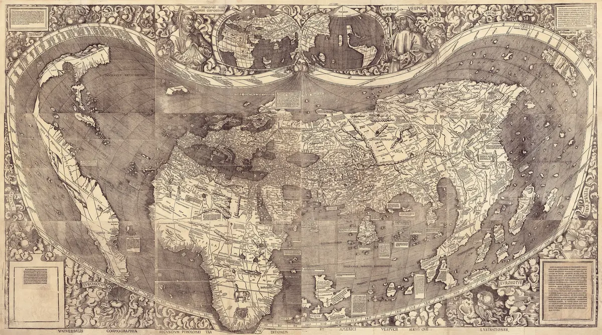
His friend Gerard Mercator, who is preparing an atlas of his own, publishes his great world map for sailors at Duisburg; Ortelius lists it among his sources.
Duisburg: Gerard Mercator's workshop, where his world map of 1569 was made - 1570
The Theatrum Orbis Terrarum is finished in Antwerp, printed at Ortelius's own cost by Gilles Coppens de Diest: 53 sheets of maps in one uniform size, text on the back of each, a list of 87 map-makers, dedicated to Philip II.
Antwerp: where Ortelius lived and worked, and where every edition was drawn, engraved and printedTwo months later Maerten de Vos paints the shipowner Gillis Hooftman and his wife; Hooftman, a map collector, had urged Ortelius to make the atlas.
Antwerp: where Ortelius lived and worked, and where every edition was drawn, engraved and printed- 1571
A Dutch edition, 'Theatre, oft Toonneel des Aerdt-bodems', appears for merchants who read no Latin.
Antwerp: where Ortelius lived and worked, and where every edition was drawn, engraved and printed - 1572
A German edition is printed at Nuremberg and a French one follows; by the end of the year three Latin editions are out as well.
Nuremberg: where the German edition of 1572 was printed - 1573
Ortelius adds 17 more maps in a supplement, the Additamentum, among them Humphrey Llwyd's map of Wales; four more supplements follow, the last in 1597.
Antwerp: where Ortelius lived and worked, and where every edition was drawn, engraved and printed - 1575
Ortelius is named geographer to Philip II of Spain, on the recommendation of Arias Montanus, who vouches for his orthodoxy.
Madrid: the court of Philip II, to whom the atlas was dedicated and whose geographer Ortelius became - 1579
The edition of 1579 is printed by Christoffel Plantin's press and is the first to carry Philip Galle's portrait of Ortelius.
The Plantin-Moretus house, Antwerp: the press that printed the Theatrum from 1579 - 1598
Ortelius dies in Antwerp; 25 editions have appeared in his lifetime and the city mourns him.
Antwerp: where Ortelius lived and worked, and where every edition was drawn, engraved and printed - 1601
The Latin edition of 1601 folds the supplements into the atlas: 161 maps and 183 authorities.
Antwerp: where Ortelius lived and worked, and where every edition was drawn, engraved and printed - 1603
The Epitome, a small version of the atlas, comes out in English.
- 1612
The last edition printed, according to the Library of Congress; by then the atlas has grown from 53 maps to about 167, and more than 30 editions in seven languages have been published.