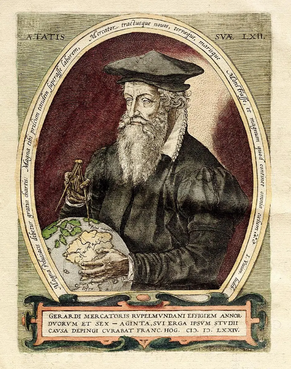
Gerardus Mercator
“The Flemish mapmaker (1512-1594) whose 1569 chart made a ship's compass course a straight line, and who gave the atlas its name.”
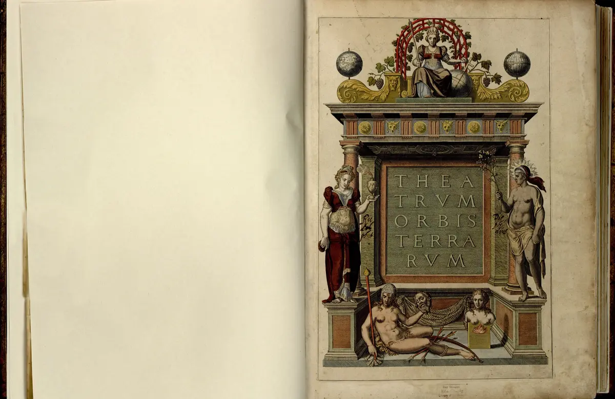
Gerardus Mercator was a Flemish mapmaker, globe-maker and engraver, born Gerard Kremer, whose 1569 world chart lets a sailor draw a straight line for a ship's course. That one idea is why the 'Mercator projection' is the world map on most walls and screens. He also gave the word atlas to a book of maps, after the Titan on the title page of the volume his son published the year after he died.
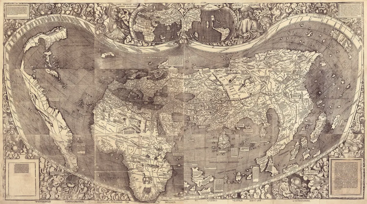
He was born on 5 March 1512 in Rupelmonde, in Flanders, to a poor family from Gangelt in Germany. A priest uncle paid for his schooling, first with the Brethren of the Common Life at 's-Hertogenbosch and then at the University of Louvain, where he took a Master's degree in 1532. Doubts about how Aristotle's philosophy fitted the Bible led him away from a career in the Church. He turned instead to mathematics under Gemma Frisius, and to engraving and instrument-making, and by 1538 he had published a world map on two heart-shaped sheets. His globe of 1541, the first to draw lines of constant compass bearing, was followed by a celestial globe in 1551, made when his friend John Dee was working beside him.
In 1544 he was arrested in a Louvain hunt for Lutherans and kept for about seven months in the castle at Rupelmonde. Nothing was found against him and he was released, but others on the same list were killed. In 1552 he moved to Duisburg in the Duchy of Cleves, a quiet Rhine town, and spent the rest of his life there. He drew a great wall map of Europe in 1554, became court cosmographer to the Duke of Cleves in 1564, and in 1569 printed the world chart on 18 sheets that carries his name. Only three complete copies of it are known today.
On the new chart the meridians run straight up and down and the parallels are spaced further apart toward the poles, so that every line of constant bearing is a straight line. Mercator did not write down how he worked it out. The cost is size: land near the poles, such as Greenland, looks far larger than it is. The chart was too big to use on board, but within a hundred years the projection was the standard for sea charts, helped by the English mathematician Edward Wright, who published tables to build it in 1599.
In his last years Mercator published a new Ptolemy in 1578, then two parts of a modern atlas in 1585 and 1589, and the Chronology and a long work on the creation that he thought his best. He had a stroke in 1590 and died on 2 December 1594, the third such stroke, and was buried in the Salvatorkirche in Duisburg. His son Rumold published the complete atlas in 1595. What he is known for is a way of making the round earth useful to a pilot, together with a name for the book of maps that the world still uses. The notes below say where sources differ on details such as how long he spent in prison.
What happened
- 1512
Gerard Kremer, later Mercator, is born in Rupelmonde in Flanders, in the hospice where his priest uncle Gisbert served, the seventh child of a poor shoemaker-farmer from Gangelt.
Rupelmonde: where he was born in 1512 and was held in prison in 1544- 1527
His uncle sends him to the school of the Brethren of the Common Life at 's-Hertogenbosch; there, after both parents have died, he takes the Latin name Mercator, 'merchant', for Kremer.
- 1530
He enrols at the University of Louvain and takes a Master's degree in 1532, though doubts about how Aristotle fits the Bible turn him away from philosophy.
Leuven (Louvain): where he studied from 1530 and made his first globes and maps until 1552- 1534
Back in Louvain he studies mathematics under Gemma Frisius and learns engraving and instrument-making from Gaspard van der Heyden; the lessons turn him to geography.
Leuven (Louvain): where he studied from 1530 and made his first globes and maps until 1552 - 1536
With Gemma Frisius and van der Heyden he works on a terrestrial globe for Charles V, the first printed from copper plates, and in the autumn marries Barbara Schellekens.
Leuven (Louvain): where he studied from 1530 and made his first globes and maps until 1552 - 1538
He publishes his first world map, on two heart-shaped sheets, and puts the name America on both continents.
Leuven (Louvain): where he studied from 1530 and made his first globes and maps until 1552 - 1540
He prints a manual on italic handwriting and maps Flanders from a survey made by triangulation, the lettering of his maps becoming his trademark.
Leuven (Louvain): where he studied from 1530 and made his first globes and maps until 1552 - 1541
His new terrestrial globe is the first to draw rhumb lines, the curves a ship makes when it holds one compass bearing.
Leuven (Louvain): where he studied from 1530 and made his first globes and maps until 1552 - 1544
Named in a Louvain hunt for Lutheran heretics, he is arrested in Rupelmonde and shut in the castle; his house is searched and nothing is found.
The castle of Rupelmonde (the Graventoren): his prison for seven months in 1544After about seven months he is let out, helped by the University of Louvain's support; others arrested with him were put to death.
The castle of Rupelmonde (the Graventoren): his prison for seven months in 1544- 1548
The young Englishman John Dee arrives in Louvain and the two become close friends, seldom a few days apart for three years.
Leuven (Louvain): where he studied from 1530 and made his first globes and maps until 1552 - 1551
He finishes a celestial globe the size of his terrestrial one, with star positions corrected to 1550.
Leuven (Louvain): where he studied from 1530 and made his first globes and maps until 1552 - 1552
Aged forty, he moves his family and workshop to Duisburg in the Duchy of Cleves, hoping for a post at a university planned there and for peace away from the Inquisition.
Duisburg: his home and workshop from 1552, where he drew the 1569 chart and died - 1554
His wall map of Europe, about 1.6 by 1.3 metres, is finished by October and makes him the leading mapmaker of the day.
Duisburg: his home and workshop from 1552, where he drew the 1569 chart and died - 1559
He teaches mathematics at the new Duisburg school until 1562, when the plan for a university is dropped.
Duisburg: his home and workshop from 1552, where he drew the 1569 chart and died - 1564
He is made court cosmographer to Duke Wilhelm of Cleves and draws maps of Lorraine and the British Isles.
Duisburg: his home and workshop from 1552, where he drew the 1569 chart and died - 1569
He prints his 18-sheet world chart on the new projection, in which every line of constant compass bearing is straight, with a Chronology of the world from creation.
Duisburg: his home and workshop from 1552, where he drew the 1569 chart and died - 1577
Answering Dee's questions, he writes the letter that explains his Arctic: four seas draining into a whirlpool round a magnetic rock at the pole, taken from a lost travel book.
Duisburg: his home and workshop from 1552, where he drew the 1569 chart and died- 1578
He publishes his corrected, newly engraved maps of Ptolemy's Geography, the first part of the great scheme he had long planned.
Duisburg: his home and workshop from 1552, where he drew the 1569 chart and died - 1585
The first part of his modern atlas appears: 51 maps of France, the Low Countries and Germany.
Duisburg: his home and workshop from 1552, where he drew the 1569 chart and died - 1589
A second part of 22 or 23 maps covers Italy, the Balkans and Greece; its preface names Atlas, the wise king of Mauretania, as his model, and the complete book of 1595 takes the name.
Duisburg: his home and workshop from 1552, where he drew the 1569 chart and died - 1590
A stroke paralyses his left side; he recovers a little but his sight is nearly gone and a second stroke at the end of 1593 takes his speech.
Duisburg: his home and workshop from 1552, where he drew the 1569 chart and died- 1594
Mercator dies in Duisburg after a third stroke and is buried in the Salvatorkirche; his son Rumold prints his atlas the next year.
The Salvatorkirche (Church of Our Saviour), Duisburg: where he is buried