Al-Idrisi's map for King Roger
“A Muslim geographer at a Christian king's court in Palermo finished, in January 1154, a book of seventy maps and a silver world map, with south at the top: the best picture of the world of its day.”
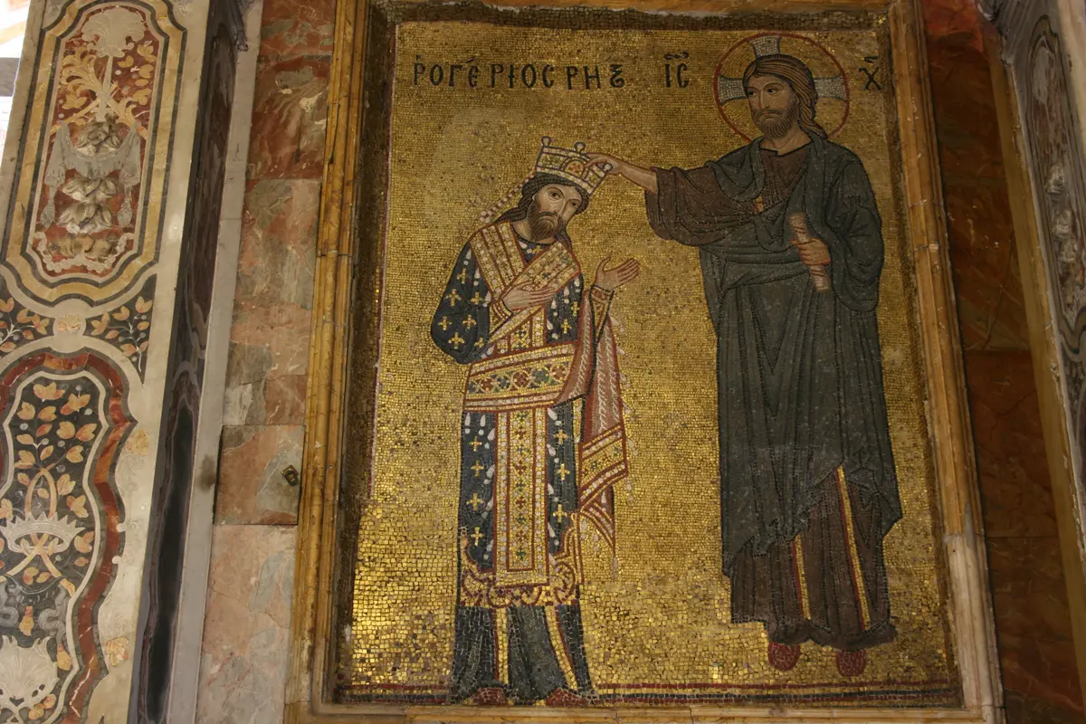
In January 1154, in Palermo, a Muslim scholar finished a book for a Christian king. The king was Roger II, the Norman ruler of Sicily, whose island had been Arab-ruled a century earlier and still had Muslims, Greeks and Latins living side by side. The scholar was al-Idrisi, born in Ceuta in North Africa around 1100, trained in Cordoba, and a traveller through Spain, North Africa and Asia Minor. Roger had brought him to court (around 1138, by one account) to make the best picture of the world anyone had yet drawn.
Roger had read Ptolemy and found the old sources unsatisfactory, so Idrisi worked another way. He and a team of scholars read Greek, Latin and Arabic books, questioned the travellers and merchants who came through Sicily, and sent men out to look, record and draw. The world was divided into seven bands, or climes, running north from the equator, and each band into ten sections: seventy sheets in all, with south at the top. For the king he also made a silver world map, said to be nearly two metres across, and a silver celestial sphere. Roger had the silver brought, and Idrisi, a story says, used a little over a third of it; the king let him keep the rest.
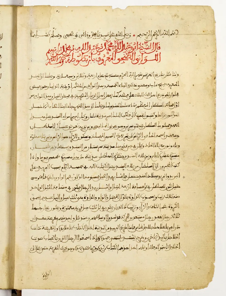
The book, called in Arabic the Nuzhat al-mushtaq (roughly, the entertainment of one who longs to cross the horizons) and in the West the Tabula Rogeriana or the Book of Roger, was done in the Muslim month of Shawwal in the year 548, about the middle of January 1154. Roger died six weeks later, on 26 February. Idrisi's maps were not drawn to modern scale and the lands far from Sicily, the Far East above all, are vague. But the Mediterranean, the Maghrib and Spain are rich in cities and rivers, the Atlantic is honestly marked as a sea no one has crossed, and the sheets draw no line between Christian and Muslim lands.
The silver disc is lost. The book lives in about ten later copies: the oldest, in Paris, was made around 1300, and the one in Oxford was copied in Cairo in 1553. An abridged text was printed in Rome in 1592 and a Latin one in Paris in 1619; in the 1920s the German scholar Konrad Miller joined the sheets into one world map; and in 2017 Oxford's Bodleian Library and the Factum Foundation began to re-create the lost silver disc from the Oxford copy. For some centuries it stayed one of the fullest accounts of the world in any language, made at a court where three cultures shared one workshop.
What happened
- 1138
Around this year Roger II, who has read Ptolemy and found the old sources unsatisfactory, brings the geographer al-Idrisi from North Africa to his court in Palermo, with the offer of a prince's pay and his protection.
The Royal Palace of Palermo: Roger's court, where Idrisi worked and the silver disc stood - 1139
Roger, newly recognised as king by the pope in July, sponsors a commission to write a new geography of the world from Greek, Latin and Arabic books and from the reports of travellers; Idrisi soon becomes its leader.
The Royal Palace of Palermo: Roger's court, where Idrisi worked and the silver disc stood - 1140
The Palatine Chapel in the royal palace, with its painted Islamic ceiling, is consecrated as the king's private chapel: the court in which the map will be made.
The Royal Palace of Palermo: Roger's court, where Idrisi worked and the silver disc stood- 1154
The Book of Roger is finished, in the month of Shawwal 548: seventy sheets of maps and the text that explains the silver disc made for the king.
The Royal Palace of Palermo: Roger's court, where Idrisi worked and the silver disc stoodRoger II dies at Palermo; he is buried in the cathedral there, where his porphyry sarcophagus still stands.
Palermo Cathedral: Roger's tomb