Everest is remeasured at 8,848.86 m by China and Nepal together
“On 8 December 2020 China and Nepal jointly announced Everest's height as 8,848.86 m, the snow height, ending the 15-year argument over snow versus rock.”
On 8 December 2020 China and Nepal announced, at the same moment and together, a new official height for Mount Everest: 8,848.86 metres above sea level, or 29,031.7 feet. That is 86 centimetres more than the 8,848 metres Nepal had used for decades and about 4.4 metres more than the 8,844.43 metres China had used since 2005. Foreign ministers Pradeep Gyawali of Nepal and Wang Yi of China spoke at events in Kathmandu and Beijing, and presidents Xi Jinping and Bidya Devi Bhandari exchanged messages. The figure is the height of the snow and ice at the very top. The height of the rock beneath was not announced.
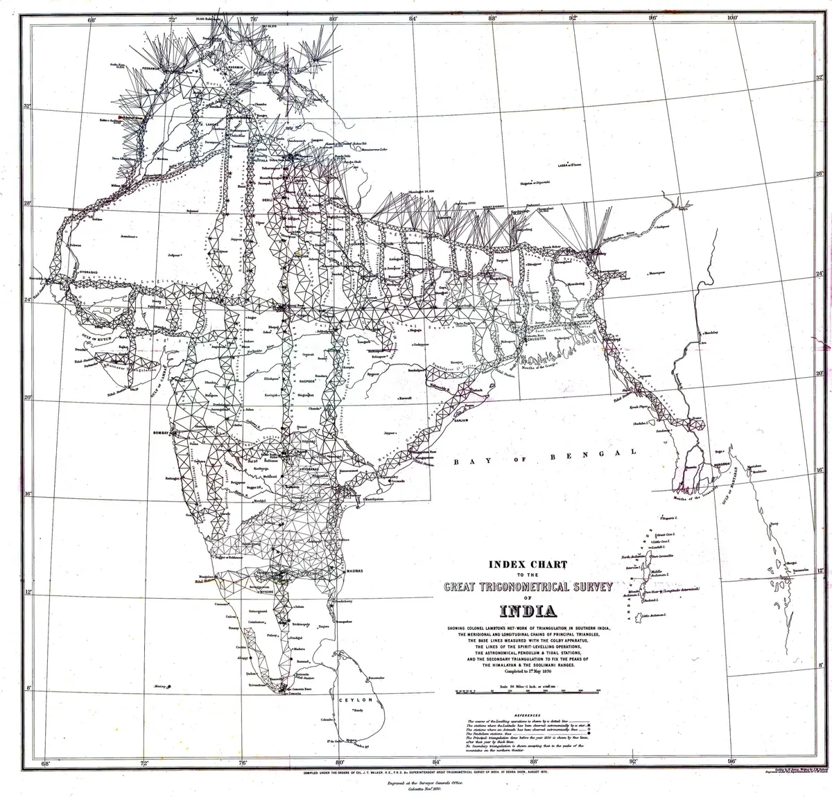
The story of the number is old. From the late 1840s the British Great Trigonometrical Survey of India looked at the Himalaya from the plains, with giant theodolites, from stations 170 kilometres or more away, and found a peak it called XV that stood above all the others. After years of checking, Andrew Waugh, the Surveyor General, wrote from Dehra on 1 March 1856 that it was 29,002 feet (about 8,840 m), 'most probably the highest in the world'. He saw no local name he could use, so he named it after his predecessor, George Everest. The name became official in 1865. Indian tradition gives much of the credit for the sums to the chief computer, Radhanath Sikdar. A new Survey of India measurement in 1952-54 gave 8,848 metres, and that was the figure Nepal used.
Then the number started to split in two. A Chinese survey in 1975 gave 8,848.13 metres, and an American team led by Bradford Washburn put a GPS receiver on the summit in 1999 and found 8,850 metres. In 2005 a Chinese team, with radar that could see through the snow, announced 8,844.43 metres for the rock and 3.5 metres of snow above it. Which should count: the snow, which melts and changes, or the rock under it? In 2010 China and Nepal agreed to recognise both. The border between the two countries, fixed by a treaty of 1961, runs along the ridge and across the summit, so neither could name the height alone. In 2015 an earthquake of magnitude 7.8 made Nepal ask whether the mountain had shrunk, and in 2017 Nepal decided to measure it by itself.
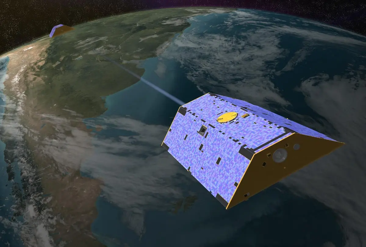
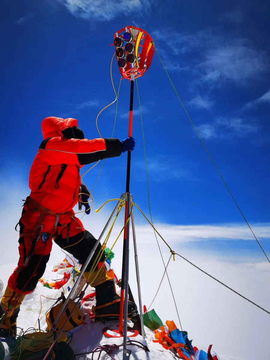
In the end both countries measured, and then they spoke together. On 22 May 2019 a Nepali team led by the surveyor Khimlal Gautam reached the summit at about 3 a.m. and put a GPS antenna and a snow radar on top. In October 2019, during Xi Jinping's visit to Kathmandu, the two countries agreed to announce the result jointly. On 27 May 2020, when the pandemic had emptied the mountain, a Chinese team climbed from the Tibet side, stayed 150 minutes on the top and used the BeiDou satellite system, radar and gravity readings. Each side's data were tied to the geoid, the surface of the sea continued beneath the land, which is the real starting point of any height.
Nothing about the mountain changed on the day, and climbers did not climb any higher. What changed is who was allowed to say how high it is. The new figure is a snow height, a 'most probable value' in the words of Nepal's chief surveyor, with errors of centimetres, and mountains still move a few millimetres a year. It was accepted by the National Geographic Society in February 2021 and shows that even a mountain's height is partly a decision, about where the bottom is, what the top is made of, and whose mountain it is.
What happened
- 2005
China's State Bureau of Surveying and Mapping and the Chinese Academy of Sciences announce 8,844.43 m (plus or minus 0.21 m) for Everest, about four metres below China's own 1975 figure of 8,848.13 m. It is the height of the rock, because radar found 3.5 m of snow and ice on top. Nepal keeps using the snow height, 8,848 m, and a dispute begins over which counts.
Summit of Everest (Sagarmatha, Qomolangma), on the Nepal-Tibet border, where both teams set their instruments- 2010
Officials of Nepal and China, meeting that week, agree to recognise two heights for Everest: 8,848 m for the snow height and 8,844 m for the rock height. Nepal's survey chief says both are correct heights, because no measurement is absolute.
- 2015
- 11:56 a.m.
An earthquake of magnitude 7.8 begins 82 km north-west of Kathmandu, and the question follows whether Everest has shrunk or shifted. A GPS receiver that Chinese scientists installed in 2005 shows that the whole mountain moved 3 cm to the south-west and the height did not change. About 9,000 people die in Nepal; an avalanche at Everest base camp kills about 20.
Kathmandu, seat of Nepal's Survey Department and the place of the Nepali half of the announcement - 2017
Nepal's Department of Survey begins its own measurement of Everest, declining offers from India and other bodies, and starting from Udayapur in the plains. It expects two years of work with help from the International Association of Geodesy; it will use GPS, gravity measurements and levelling.
Kathmandu, seat of Nepal's Survey Department and the place of the Nepali half of the announcement- 2018
China's surveying administration says that it has never changed its stand: the height of Qomolangma is 8,844.43 m, the rock height, made official in 2005 with State Council authorisation. It answers a New York Times report of 3 February that China had backed down and would recognise Nepal's 8,848 m.
Beijing, the Chinese capital, whose foreign minister Wang Yi announced the height at the same moment as Nepal's- 2019
- 3:00 a.m.
Khimlal Gautam of Nepal's Survey Department reaches the summit at about 3 a.m., with another Nepali surveyor and three Sherpa guides, timed to avoid the crowd of climbers. They set up a GPS antenna and a ground-penetrating radar to measure the snow beneath their boots; the receiver records satellites for 1 hour 16 minutes. It is the first time Nepali surveyors have measured the mountain themselves.
Summit of Everest (Sagarmatha, Qomolangma), on the Nepal-Tibet border, where both teams set their instruments Chinese president Xi Jinping arrives in Kathmandu on a state visit. During it Nepal and China agree to cooperate on the re-measurement and to announce Everest's height together, which holds back Nepal's finished figure until China has measured too.
Kathmandu, seat of Nepal's Survey Department and the place of the Nepali half of the announcement- 2020
Two chances for the Chinese team to climb Everest, the first on 16 May and the second on 22 May, are called off for bad weather and avalanche risk. The mountain is otherwise empty: the pandemic has closed it to all other climbers.
Qomolangma base camp on the Tibet side, from where China's team climbed in May 2020They stay on the summit a record 150 minutes, raising a survey marker and setting up satellite receivers (BeiDou among them), snow-depth radar and gravity measurements, and earlier in the season a plane has carried precise gravity equipment over the mountain. The Chinese receiver records satellites for 54 minutes. The numbers will be joined to Nepal's on one reference surface: the geoid, the sea level continued under the land.
Summit of Everest (Sagarmatha, Qomolangma), on the Nepal-Tibet border, where both teams set their instruments- 2:00 a.m.
The Chinese surveying team sets off from the high camp for the summit in the dark. More than 70 core members had been chosen for the expedition, strong climbers; the outdoor work in Tibet runs 111 days from 2 March.
Qomolangma base camp on the Tibet side, from where China's team climbed in May 2020 - 11:00 a.m.
The team reaches the summit of Everest from the Tibet side at 11 a.m. Beijing time, the only group on the mountain that spring.
Summit of Everest (Sagarmatha, Qomolangma), on the Nepal-Tibet border, where both teams set their instruments China and Nepal announce at the same moment that Everest is 8,848.86 m above sea level, 86 cm above the 8,848 m Nepal used and about 4.4 m above China's 8,844.43 m. Foreign ministers Pradeep Gyawali and Wang Yi speak at events in Kathmandu and Beijing, and presidents Xi Jinping and Bidya Devi Bhandari exchange messages. It is the snow height; the rock height is not announced.
Kathmandu, seat of Nepal's Survey Department and the place of the Nepali half of the announcement